
Typhoon Tracker: Live Typhoon Map and Forecast Path
Updated · 29 Oct 2026
Typhoon In-fa is active in the West Pacific right now. It has 1-minute winds of 120 kt (140 mph, 220 km/h) by JTWC, 415 nm east of Saipan, moving west-northwest at 17 kt (06:00 UTC). JMA, the official regional centre, rates it a typhoon with 10-minute winds of 90 kt and 940 hPa. The map shows the past track, the forecast track and, where JMA has issued one, the 70% forecast circle area. JMA has numbered 31 named storms in 2026 so far (latest: In-fa, number 2631).
West Pacific status
JTWC warnings and JMA bulletins, checked every 15 minutes. Last check 13:43 UTC.
- West Pacific: 1 active storm (Typhoon In-fa)season all year; most typhoons form from July to November · strongest now 120 kt (140 mph, 220 km/h)ACTIVE
Typhoon map: position, past track and forecast path
Active typhoons and tropical storms now
MONITORWORLD APP · iOS + ANDROID
Get an alert before the typhoon arrives
MonitorWorld sends a push alert when a typhoon forms or strengthens near the places you follow, with the official source and the forecast track.
- Storms, quakes and wildfires on one map
- Alerts for home, family and travel spots
- Free, no account needed


 On a computer? Scan with your phone camera.

Recent typhoons and tropical storms
- Typhoon Champi: passed close to north-eastern Taiwan without a direct landfall; 1 death and more than 500 injuries reported by Taiwan's authorities, 23-24 Oct 202622-24 Oct 2026 · briefly a super typhoon (JTWC) · reported by Reuters; Al JazeeraWEST PACIFIC
- Typhoon Fung-wong (Uwan): made landfall in Aurora province, Luzon, Philippines; 18 deaths reported by the Office of Civil Defense, 12 Nov 20259 Nov 2025 · super typhoon at landfall (PAGASA) · reported by PAGASA via PhilSTAR Life; Manila TimesWEST PACIFIC
- Typhoon Kalmaegi (Tino): flooded the central Philippines; 269 deaths reported by the Office of Civil Defense, most of them in Cebu and Negros Occidental, 17 Nov 2025early Nov 2025 · typhoon · reported by GMA NewsWEST PACIFIC
- Typhoon Ragasa (Nando): made landfall on Hailing Island, Guangdong, China (China Meteorological Administration via AP); 14 deaths reported by Taiwan's officials after a barrier lake burst in Hualien (AFP, 25 Sep 2025) and at least 8 in the Philippines (AP)24 Sep 2025 · typhoon · reported by AP; AFP via DawnWEST PACIFIC
Key context
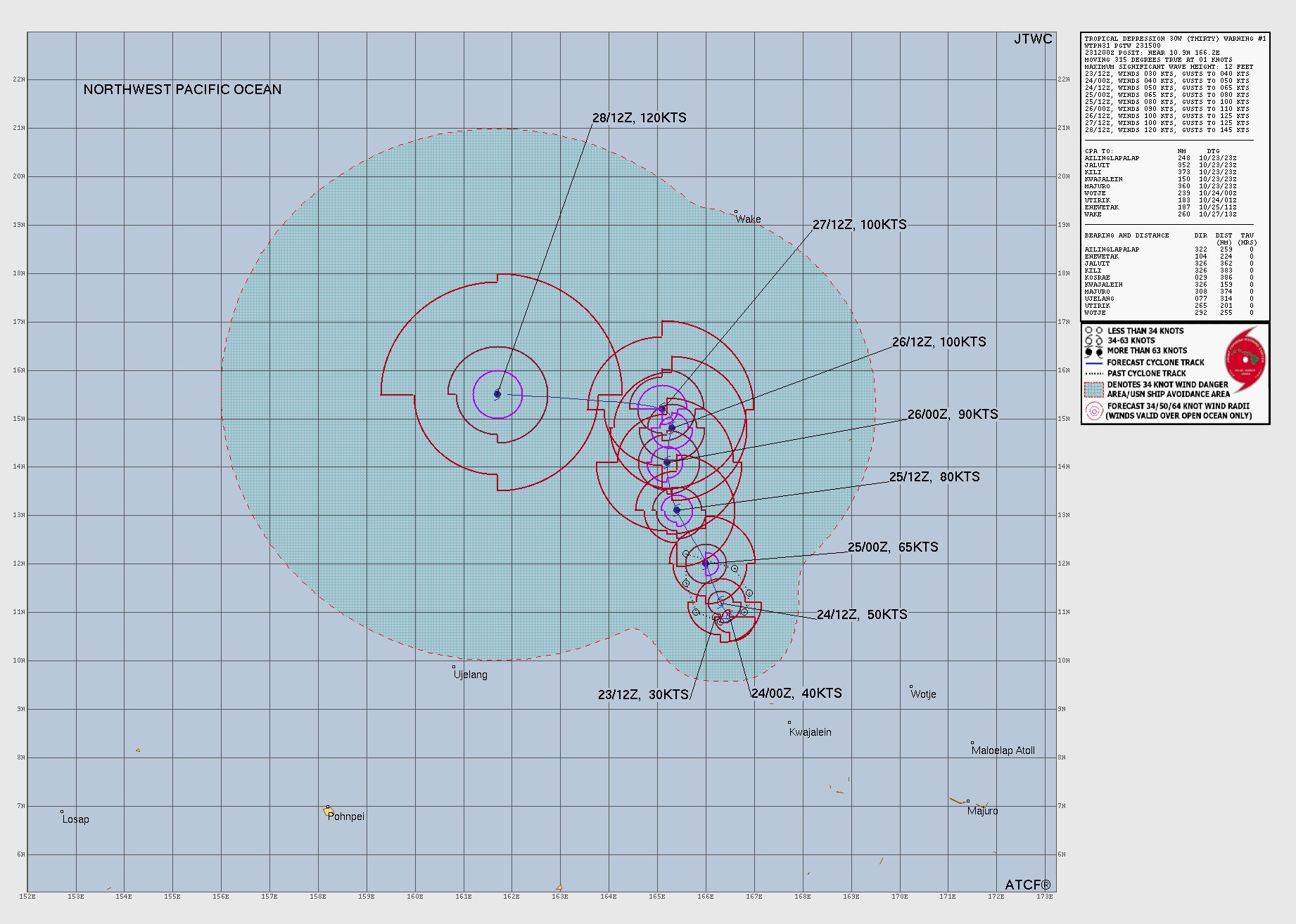
Forecast track: Typhoon In-fa (JTWC warning 24, 09:00 UTC 29 Oct)
Joint Typhoon Warning Center forecasts weakening to 100 kt by 3 Nov. JMA, the official centre for this region, rates it a typhoon (intensity "very strong") with 10-minute winds of 90 kt (105 mph, 165 km/h) and a central pressure of 940 hPa at 12:00 UTC. Times are UTC; winds are 1-minute sustained winds unless noted. Read the official text and the official forecast graphic before you make any decision.
| Time (UTC) | Position | Max wind | Strength |
|---|---|---|---|
| Now: 29 Oct 06:00 | 16.3°N 152.9°E | 120 kt (140 mph) | typhoon |
| 29 Oct 18:00 | 17.1°N 149.5°E | 125 kt (145 mph) | typhoon |
| 30 Oct 06:00 | 18.5°N 146.3°E | 120 kt (140 mph) | typhoon |
| 30 Oct 18:00 | 20.2°N 143.9°E | 120 kt (140 mph) | typhoon |
| 31 Oct 06:00 | 21.6°N 142.9°E | 120 kt (140 mph) | typhoon |
| 31 Oct 18:00 | 22.2°N 142.8°E | 110 kt (125 mph) | typhoon |
| 1 Nov 06:00 | 22.3°N 142.5°E | 100 kt (115 mph) | typhoon |
| 2 Nov 06:00 | 22.1°N 139.4°E | 100 kt (115 mph) | typhoon |
| 3 Nov 06:00 | 22.6°N 137.3°E | 100 kt (115 mph) | typhoon |
JMA or JTWC: why the numbers differ
Two centres track every West Pacific storm. The Japan Meteorological Agency is the official WMO regional centre (RSMC Tokyo): it names the storms and its classes are the ones used in official warnings. The US Joint Typhoon Warning Center issues warnings for US forces; it uses 1-minute winds, like NHC, so its numbers compare directly with Atlantic hurricanes.
Right now, for In-fa: JTWC 120 kt (1-minute) and JMA 90 kt (10-minute). The 10-minute average is lower because short gusts are smoothed out; it is not a disagreement about the storm.
| Class | Winds | Who uses it |
|---|---|---|
| Tropical depression | under 34 kt | JMA and JTWC |
| Tropical storm | 34-47 kt | JMA (JTWC: 34-63 kt) |
| Severe tropical storm | 48-63 kt | JMA |
| Typhoon | 64 kt or more | JMA and JTWC |
| Typhoon, intensity "very strong" | 85-104 kt | JMA |
| Typhoon, intensity "violent" | 105 kt or more | JMA |
| Super typhoon | 130 kt or more (1-minute) | JTWC |
Typhoon season
The West Pacific has typhoons in every month, but most form from July to November. JMA's numbering shows 31 named storms so far in 2026; a typical year has about 25 named storms, the most of any ocean basin.
Philippine names and warning signals
Inside the Philippine Area of Responsibility, PAGASA gives every tropical cyclone a local name (for example, a storm named by JMA can carry a different Filipino name) and raises Tropical Cyclone Wind Signals for the provinces at risk. For evacuations and school closures in the Philippines, follow PAGASA and your local government, not this map.
Hurricane, typhoon or cyclone: the same storm
All three are tropical cyclones: rotating storms that form over warm ocean water. Only the name changes with the ocean. Over the North Atlantic and the Northeast Pacific, a storm with sustained winds of 64 kt (74 mph) or more is a hurricane. Over the Northwest Pacific it is a typhoon. Over the Indian Ocean and the South Pacific it is a cyclone (in Australia, a tropical cyclone of any strength).
Official typhoon information
- Japan Meteorological Agency: official RSMC Tokyo typhoon analyses and forecasts.
- PAGASA: Philippine storm names, wind signals and bulletins.
- Hong Kong Observatory, Central Weather Administration (Taiwan), NWS Guam and the national services of China, Korea and Vietnam for local warnings.
- Joint Typhoon Warning Center: the warnings used for the tracks on this page.
Questions and answers
Is there a typhoon right now?
Where is the typhoon now?
Why do JMA and JTWC give different wind speeds?
What is a super typhoon?
When is typhoon season?
Who names typhoons?
Related live pages
- /live/hurricane-trackerHurricane trackerActive hurricanes and tropical storms with the NHC cone and track.
- /live/cyclone-trackerCyclone trackerCyclones in the Indian Ocean, Australia and the South Pacific.
- /live/earthquakes/japanJapan earthquakesLive map, 30-year normal and official links in and around Japan.
- /live/tsunami-warningTsunami warning todayLatest US tsunami bulletins and flagged quakes.
- /live/earthquakes/philippinesPhilippines earthquakesLive map, 30-year normal and official links in the Philippines.
- /liveLive war mapEvery layer on one map: conflicts, aircraft, quakes, chokepoints.
MONITORWORLD APP · iOS + ANDROID
Typhoon alerts on your phone
Storm, quake and wildfire alerts with the official source. Free on iPhone and Android.
On a computer? Scan with your phone camera.
Sources
- Joint Typhoon Warning Center (US Navy / US Air Force): warning positions, 1-minute winds, past and forecast tracks (RSS feed and JMV 3.0 files). US government work. JTWC says its products are intended for US government agencies; for official warnings, follow your national weather service.
- Japan Meteorological Agency (RSMC Tokyo): Source: Japan Meteorological Agency website. Typhoon class, 10-minute winds, pressure and 70% forecast circles, edited (converted and mapped) by MonitorWorld.
Page built 13:46 UTC, 2026-10-29. Full list: data sources and method.