
Tokyo Live Cam: Tokyo Webcams Live Now
Updated · 29 Oct 2026
42 public Tokyo webcams are live on this page, the newest image from 08:44 UTC. Tap a dot on the map or an image to open the live view and the 24-hour timelapse on Windy.com.
Tokyo live cams right now
 Shibuya: North-east: NSW Nippon System Software Co., Ltd. Head Office - 31-11 Sakuragaokachō - Metropolitan Expressway Route No.3 Shibuya LineShibuya, Japan · image 2 min ago · CityLive view on Windy · 24 h timelapse
 Shinjuku: Tokyo - Tokyo City - City Views 2Shinjuku, Japan · image 2 min ago · City, TrafficLive view on Windy · 24 h timelapse
 Sakuragawa 1: South-west: 栗原橋 - Shakujii Riverunknown, Japan · image 3 min ago · RiverLive view on Windy · 24 h timelapse
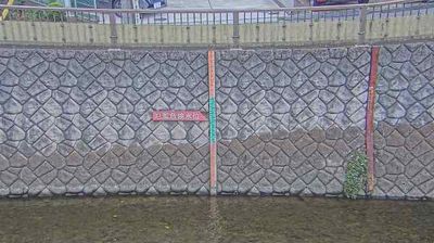 Kamata 3: West: Tanaka Nomori Bridge - Sen Riverunknown, Japan · image 3 min ago · RiverLive view on Windy · 24 h timelapse
 Nogata 3: South: Myōshōji Riverunknown, Japan · image 3 min ago · RiverLive view on Windy · 24 h timelapse
 Kawasaki: Tama RiverKawasaki, Japan · image 3 min ago · River, LandscapeLive view on Windy · 24 h timelapse
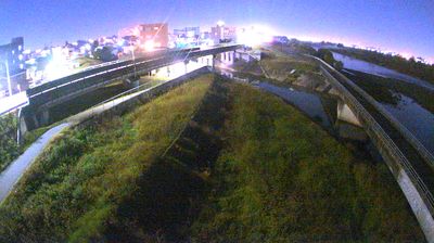 Takatsu Ward: Kuji 2-chome: West: 平瀬川浄化施設 - Hirase River - Tama RiverTakatsu Ward, Japan · image 3 min ago · RiverLive view on Windy · 24 h timelapse
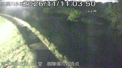 Suginami: Yotsuya Civic HallSuginami, Japan · image 3 min ago · RiverLive view on Windy · 24 h timelapse
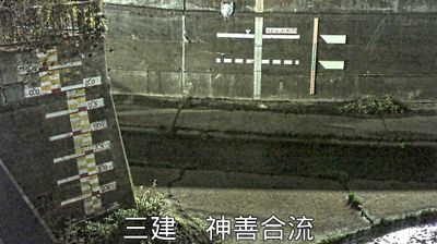 Yayoicho 5: North-west: 神田川と善福寺川の合流点 - Zenpukuji River - Kanda Riverunknown, Japan · image 3 min ago · RiverLive view on Windy · 24 h timelapse
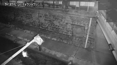 Wakamiya 1: South: 太陽橋 - Myōshōji Riverunknown, Japan · image 3 min ago · RiverLive view on Windy · 24 h timelapse
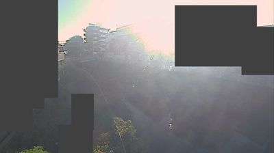 Tama Ward: Shukugawara 6-chome: East: 二ヶ領用水Tama Ward, Japan · image 4 min ago · RiverLive view on Windy · 24 h timelapse
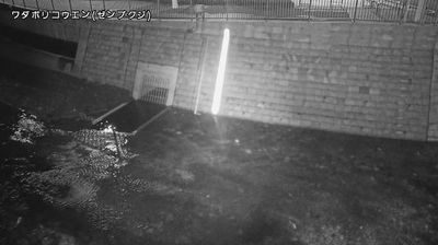 Matsunoki 2: South-east: 和田堀公園調節池 - Zenpukuji Riverunknown, Japan · image 4 min ago · RiverLive view on Windy · 24 h timelapse
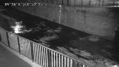 Ogikubo 5: South: 荻窪橋 - Zenpukuji Riverunknown, Japan · image 4 min ago · RiverLive view on Windy · 24 h timelapse
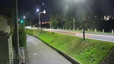 Denenchofu 5: South-east: Den-en-chofu 5 - Tōkyō Prefectural Route 11 - Tama Riverunknown, Japan · image 4 min ago · TrafficLive view on Windy · 24 h timelapse
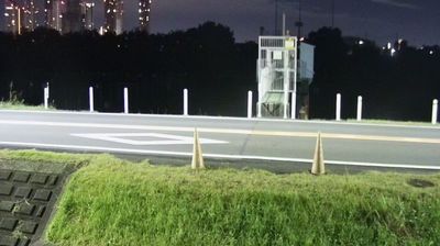 Denenchofu 5: South: 上沼部排水樋管 - Tōkyō Prefectural Route 11 - Tama Riverunknown, Japan · image 4 min ago · Weather, TrafficLive view on Windy · 24 h timelapse
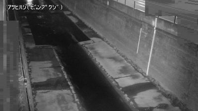 Yayoicho 6: West: Tokyoto Gesuidokyokuwadaponpushisetsu - Zenpukuji River - 新朝日橋unknown, Japan · image 4 min ago · RiverLive view on Windy · 24 h timelapse
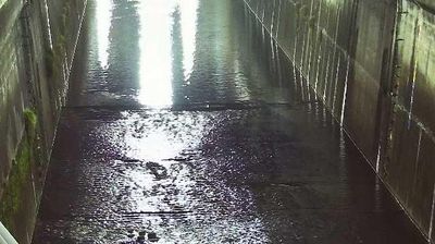 Oyaguchi kitacho: West: 学校橋 - Shakujii Riverunknown, Japan · image 4 min ago · RiverLive view on Windy · 24 h timelapse
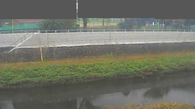 Kamata 4: South-west: Tenjinmori Brdg. - Nogawasuido Bridge - Nogawa Riverunknown, Japan · image 4 min ago · Weather, RiverLive view on Windy · 24 h timelapse
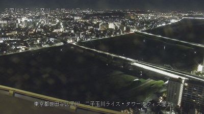 Kawasaki: Tama RiverKawasaki, Japan · image 4 min ago · City, RiverLive view on Windy · 24 h timelapse
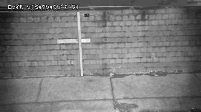 Yamatocho 4: North: Rosei-bashi Bridge - Myōshōji Riverunknown, Japan · image 5 min ago · TrafficLive view on Windy · 24 h timelapse
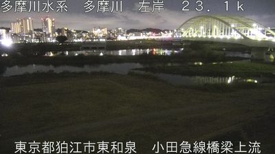
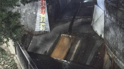 Nakano: 2 Chome-28 MatsugaokaNakano, Japan · image 5 min ago · RiverLive view on Windy · 24 h timelapse
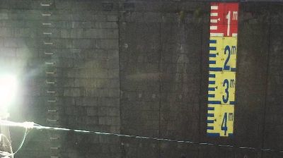
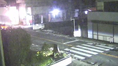
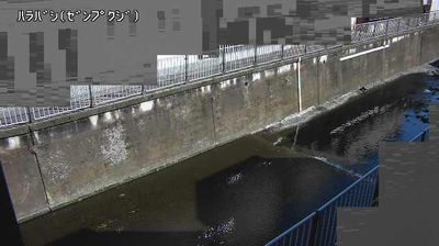 Nishiogi kita 3: East: 原寺分橋 - Zenpukuji Riverunknown, Japan · image 5 min ago · RiverLive view on Windy · 24 h timelapse
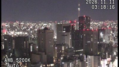 Chiyoda: North-east: 東京都千代田区役所(庁舎より北東)Chiyoda, Japan · image 5 min ago · City, WeatherLive view on Windy · 24 h timelapse
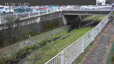 Shinkawa 6-chome: West: 長久保三之橋 - Sen Riverunknown, Japan · image 5 min ago · RiverLive view on Windy · 24 h timelapse
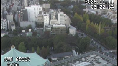 Chiyoda: West: 東京都千代田区役所(庁舎より西)Chiyoda, Japan · image 5 min ago · City, WeatherLive view on Windy · 24 h timelapse
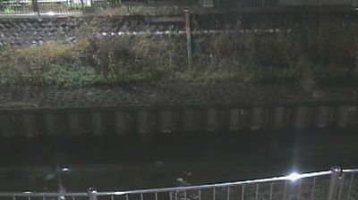 Ogikubo 1: East: 西田端橋 - Zenpukuji Riverunknown, Japan · image 5 min ago · Weather, RiverLive view on Windy · 24 h timelapse
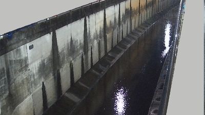 Ishikawacho 1: North: 境橋 - Nomi Riverunknown, Japan · image 5 min ago · RiverLive view on Windy · 24 h timelapse
 Wada 1: South-east: 和田見橋 - Kanda Riverunknown, Japan · image 5 min ago · RiverLive view on Windy · 24 h timelapse
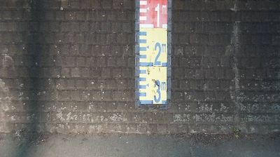
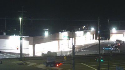
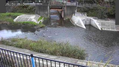 Irimacho 2-chome: North: Nogawa Children's Playground - Nogawa Riverunknown, Japan · image 5 min ago · RiverLive view on Windy · 24 h timelapse
 Denenchofu 4: South-east: Parkway - 河川敷駐車場入り口 - Nijibashiunknown, Japan · image 5 min ago · City, TrafficLive view on Windy · 24 h timelapse
 Kōraku 1: South: 水道橋分水路(第二分水路吐口) - Iidabashi - Kanda Riverunknown, Japan · image 6 min ago · RiverLive view on Windy · 24 h timelapse
 Denenchofu 4: South-east: Nijibashiunknown, Japan · image 6 min ago · RiverLive view on Windy · 24 h timelapse
 Narita nishi 3: North: Nishizono Bridge - Zenpukuji Riverunknown, Japan · image 6 min ago · RiverLive view on Windy · 24 h timelapse
Webcams provided by Windy.com — add a webcam
MONITORWORLD APP · iOS + ANDROID
Alerts for Tokyo
Get a push alert when something happens in or near Tokyo: storms, earthquakes, protests or security events, with the source.
- Weather, quakes and security events
- Live cams and maps in one app
- Free, no account needed


 On a computer? Scan with your phone camera.

Key context
About the Tokyo cams
Tokyo has one of the densest webcam networks in the world: crossings in Shibuya and Shinjuku, Tokyo Bay, the Sumida River and, on clear days, Mount Fuji on the horizon. People watch them for the crowds, the weather, cherry blossom season and typhoons.
Japan is one of the most earthquake-prone countries on Earth, so Tokyo cams are also watched after strong quakes. We leave out cams near Yokota, Atsugi, Yokosuka, Camp Zama and the Ministry of Defense at Ichigaya.
What to watch for
- Typhoons between August and October bring rain bands you can see crossing the bay.
- After a strong earthquake, check our earthquakes page and the Japan Meteorological Agency for tsunami warnings.
- Mount Fuji is most often visible on clear winter mornings.
Our rules for live cams
We only list public webcams from the Windy.com network, link every image to its live view on Windy, and never stretch the images. We do not list cams in active war zones or in countries that ban broadcasting strike sites and air defences (Ukraine and Israel), and we leave out cams near military bases.
Questions and answers
How many live cams are there in Tokyo?
Is there a live cam of the Shibuya crossing?
Can I see Mount Fuji live from Tokyo?
Where do I check earthquakes in Tokyo?
Related live pages
- /liveLive war mapEvery layer on one map: conflicts, aircraft, quakes, chokepoints.
- /current-warsCurrent warsEvery country with recorded armed-conflict events, with UCDP estimates.
- /live/world-war-3-mapWorld War 3 mapWW3 risk tracker: flashpoints, risk index and military activity.
- /live/iran-war-mapIran war mapIran map with conflict events, Gulf shipping and the latest reports.
- /live/yemen-war-mapYemen war mapYemen fighting, Houthi attacks and Red Sea shipping.
- /live/mexico-cartel-mapMexico cartel mapCartel violence in Mexico by state, from UCDP data.
MONITORWORLD APP · iOS + ANDROID
The whole world, live
Cams, conflicts, quakes and flights in one free app.
On a computer? Scan with your phone camera.
Sources
- Windy.com Webcams API: public webcam images and timelapse players. Each image links to its page on windy.com; images stay with their owners.
Page built 08:46 UTC, 2026-10-29. Full list: data sources and method.